
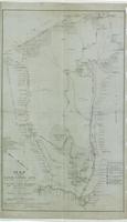
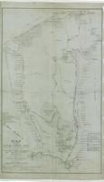
Map of Lauriston Mountain
1 / 2
LAWW-047c.2d 1917-08-00, Map of Laur. Mtn., WB Farm, water syst., streams, springs.jpg (33.31 MB)
- Description
- Map #2 showing roads, trails streams, springs, water system, lath houses, cultivated areas, buildings.;
- Source
- Walter Herbage
- Date Created
- 1917
- Format
- Photo
- Storage Location
- Vertical files
- Identifier
- LAWW-047
- Provenance
- LAWW-047c.1p
- LAWW-047c.2d
- Legacy Collection
- 2026 Database
- Comments
No comments yet.