Skip to main content
Advanced search
Home
Collections
Browse
More ...
Site Help
Location
Contact Us
Add to our archives
Town of Portola Valley Home Page
Maps Collection
Title
Maps
Showing 1 to 75 of 103 results
Page
of 2
Created
Resource class
Title
Ascending
Descending
Sort
Advanced search
Items
1885 Lands of Stanford & environs
property owners from Skyline to Old La Honde roads Including Stanford's lands & portions of San Francisquito Creek
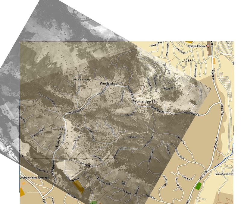
1930 overlay
1930 photo overlayed w PV map
Boundry line between San Francisco & Santa Clara Counties.
a tracing of a Map of the Boundary Line . . ., Div. of State Lands, Sacra. 12-83, four pages together constitute the map;
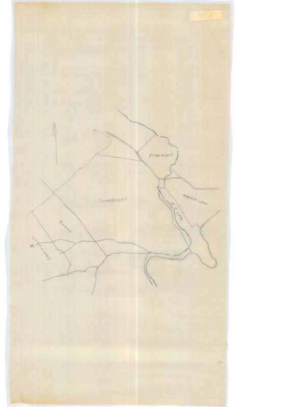
Connolley, Fitzhugh, Bozzo, Law
;
Coombsville Map
PGE map showing line extension and plot lines
Corte Madera Creek portion
Connolley, Welch, Law, Hooker and Lent, Ormondale, Stanford;
E. L. Brown Ranch
411.32 A., Hamms Gulch, white lines on black, laminated;
El Corte de Madera property owners
Westridge, Portola Woods, Lake Shore Hills, Woodside Country Club;
El Corte de Madera, Canada de Raymundo, Las Pulgas portion of San Mateo County, property owners
countless names of owners;
Elections Precinct Map for Portola Valley precincts 3901 to 3906
Section 2 Page 15, showing streets and boundaries of precinct;
Equestrian & Hiking Trails in San Mateo Properties
Crystal Springs & San Andreas Lake & environs with roads/trails;
Felt and Coon Tracts
Outline of the tracts occupied by T O'Leary and Timothy Crowley
Fuel Hazards Map,Portols Valley General Plan Update
Dominant vegetation types
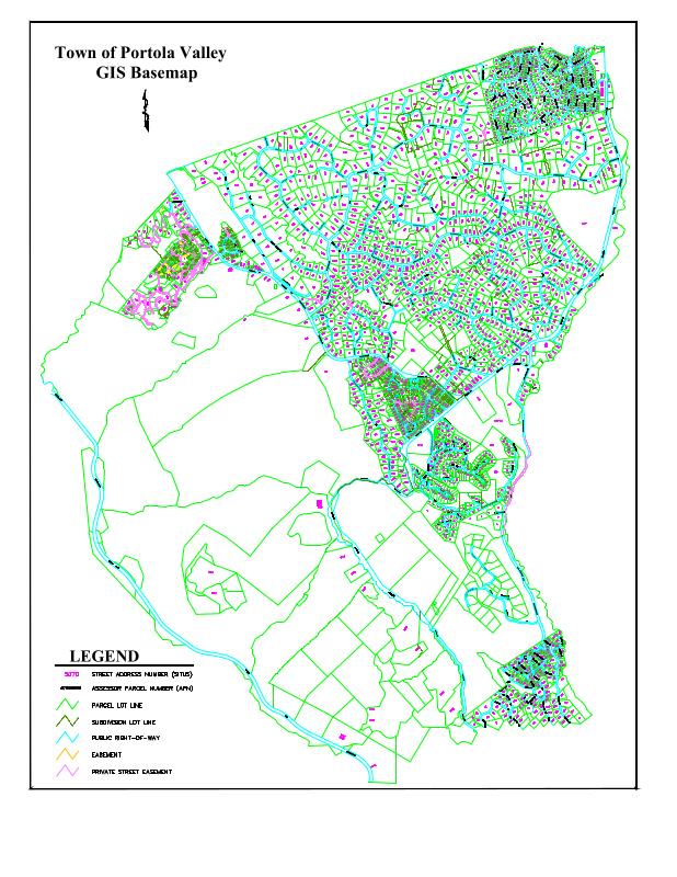
GIS Base Map via AutoCad
individual parcels, addresses, parcel numbers
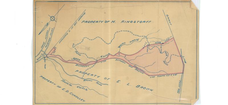
Jones Gulch area
Rengstorff, Brown, Connolley;
Lands of John Neylan
one of two; Skyline to Brookside; See Maps-067
Lands of John Neylan
one of two;
Lands of John Neylan
one of two; survey from gulch and creek;
Lands of John Neylan
one of two; survey from gulch to creek;
Lands of John Neylan
one of two; Skyline to Brookside; See Maps-028
Lands of Leland Stanford Junior University at and near the site of the University
White on blue background with swirls; shows Palo Alto; Surveyed at request of board of trustees
Lauriston Investment Co., Hooker and Lent, Catoctin Corte Madera Creek
proposed trade A for B, laminated;
Law, Connolley, Hooker and Lent
part of Rancho El Corte Madera, 0.855 A., laminated;
Map of Boundary Line between the counties of San Francisco and Santa Clara
Shows San Francisquito Cree, Corte Madera Creek, smaller creeks, very few structures;
map of individual lots in Portola Valley
;
Map of lands situated in Santa Clara & San Mateo Counties the Property of Leland Stanford
Shows the San Mateo portion; rest is missing; Surveyed at request of Ariel Lathrop
Map of lands situated in Santa Clara & San Mateo Counties the Property of Leland Stanford
Includes a small portion of San Mateo County along the creek; mostly details of Stanford farm; Surveyed at request of Ariel Lathrop
Map of Roads leading from the Redwood Embarcadero
Photostat of a map in County Engineer's Office in Redwood City. Nov. 14, 1853 is date of survey.;
Map of the Ham Ranch,
original map of Ham Ranch, Langly, Langley, Jones Corral, 2 UI gulches, water damage
map of Town of Portola Valley
;
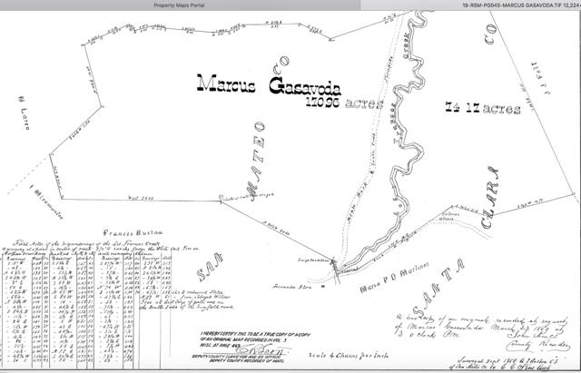
Marcus Gasavoda property survey
"Lazy Day area" ; Fernando's Store, Arastradero, Alpine roads See File Information on photo
Marcus Gasavoda property survey notes
Bo Crane notes on map
Normal Geodetic Vertical Datum of 1929
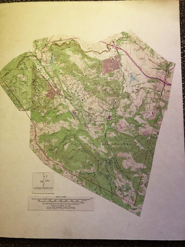
Topo map of El Corte de Madera Rancho with boundaries drawn on modern topo map;
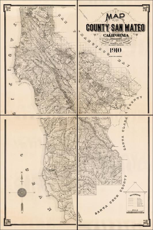
Official map of San Mateo County
Townships and towns of the county; a duplicate, encapsulated;
Official map of San Mateo County
shown in 2 sections, front and back; 35 x 57;
Official Map of San Mateo County
Including the city and county of San Francisco, encapsulated;
Official Map of San Mateo County
Delineating cities, towns, private claims, ranchos, water works, railroads, encapsulated;
Official Map of San Mateo County
approved by th Board of Supervisors,not encapsulated;
Official Map of San Mateo County
Approved by the Board of Supervisors, not encapsulated;
Official Map of San Mateo County 1927
;
Official Map of San Mateo County, 1950
Townships and towns;
Official Map of San Mateo County, 1973
Townships and towns in varied colors;
Official Map of San Mateo County, 1988
Townships and towns;
official San Mateo County Map, portion, by J. V. Neuman
El Corte de Madera, Raymundo, Canada Verde, San Gregorio rancho property owners;
Palo Alto and Vicinity
Calif. Automobile Association map;
Palo Alto vicinity street map
;
Palo Alto, Menlo Park, Atherton, Redwood City street map,
includes ads and index to street names;
Portion of Corte Madera Creek
Punnett and Parez - showing locations of water measurements and diversions;
Portion of official San Mateo County map
Skyline property owners, ; Bovet, Mariani
Portion of San Mateo County
Ranchos, Towns, Landowners 42 x 65;
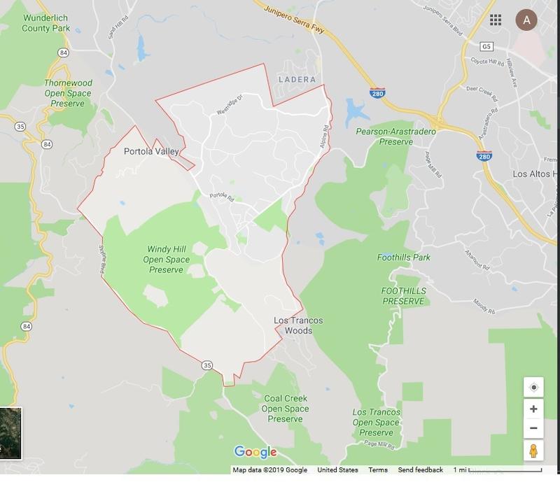
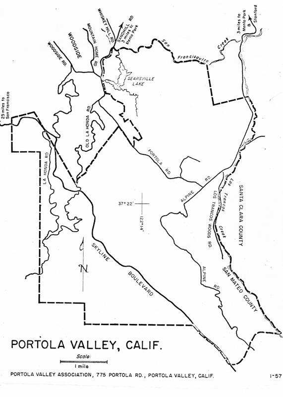
Portola Valley
Google map of area with PV perimeter outlined
Portola Valley & Vicinity
Property Owners & Physical Features (creeks & roads)
Portola Valley & Vicinity
Property Owners & Physical Features (creeks & roads)
2
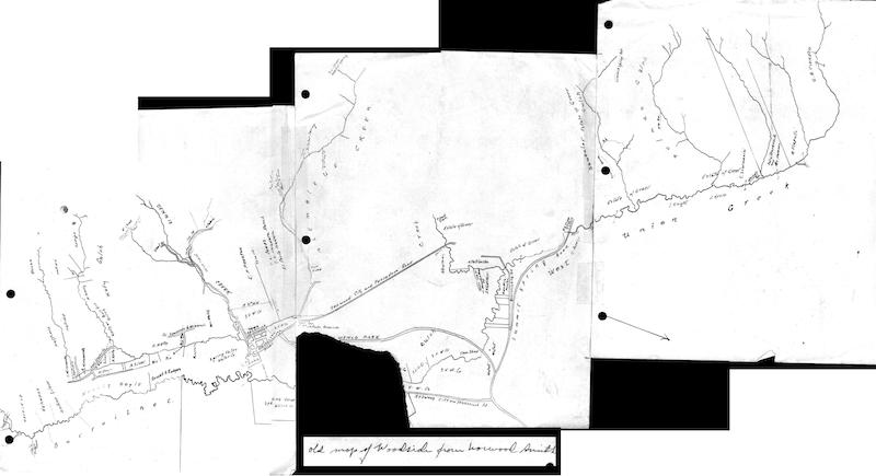
Portola Valley portion of map of Woodside by Norwood Smith
Woodside, Norwood Smith, creeks, West Union Creek, Town of Searsville,
Portola Valley streets, property owners
Los Trancos Creek to Skyline to San Francisquito Creek & Searsville Lake;
Portola Valley streets, property owners
; Is this the same as Maps 001?
Portola Valley Zoning Map
as of 1983
Portola Valley Zoning Map
as of 1990
Property of Leland Stanford near Searsville
Lots 34-45 with acreages listed; shows Searsville Hotel & school house;
Property Owners - PV & communiity
Proposed Incorporation map of Portola Valley
Outline map showing proposed boundaries;
Proposed Town of Portola Valley
;
Rancho Corte Madera portion
Corte Madera Creek boundary;
Rancho Corte Madera portion
Herbert Law property surveyed boundaries;
Reservoir site, Los Trancos Water Co.
mounted; H. P. Coon, Mezes, Murray, Barroilhet, Arguello;
Reservoir site, Los Trancos Water Co.
H. P. Coon, Mezes, Murray, Barroilhet, Timothy Page, Storey, Roberts, Arguello;
San Mateo County 1960 (a portion)
Woodside & Menlo Park to part of La Honda, incl. all of P.V.;
San Mateo County California
Parks, beaches, golf courses, riding academies, etc., prepared for the County Publicity Department; (color blue & gold)
San Mateo County California
;
San Mateo County Map compiled from County records
some topographical information with political identifications
Site fence for outdoor primate facility
Includes location in inset; indicates topography, trees, creek; Stanford Medical Center
Sites for Historic Element
topo map of Portola Valley with sites indicated by number from Historic Element;
Skyline Blvd property owners
from Santa Clara Co line north to Crystal Springs reservoir, a blueprint
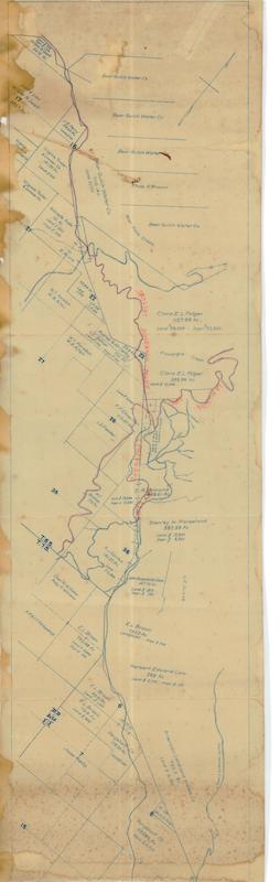
Skyline Boulevard property owners, laminated
Bear Gulch Water Co., Folger, Morshead, Law, Brown, Amer. Land and Water, Rengstorff, Williams, Santos, BIshop, Chapman, Arata et al;
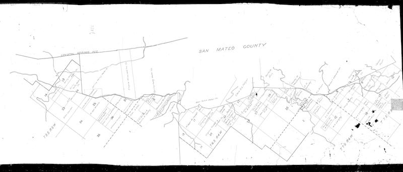
Southern Boundary of San Mateo County
San Gregorio Creek, San Francisquito Creek, Martinez, Robles, Buelna, Mesa, Pulgas;
Showing 1 to 75 of 103 results
Page
of 2